Maximize
Maximize
Maximize
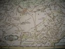
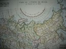
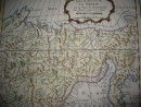
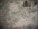
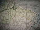
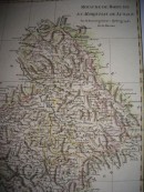
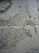
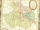
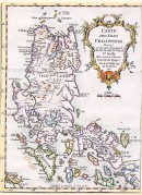
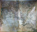
LES PAYS-BAS, FRANçOIS, AUTRICHIENS, ET HOLLANDOIS, Divifés en Provinces Civiles et Eccléfiaftiques. A Paris, chez le Sr Desnos, Ingénieur Géographe pour les Globes et Sphères rue St Jacques, à l'Enseigne du Globe. 1766. A.P.D.R.Original 18th map, hand-coloured, 30,5 x 28,5 cm, decorative cartouche of title, usual folding, very good condition.
30 other products in the same category: