Maximize
Maximize
Maximize
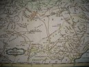
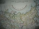
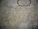
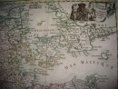
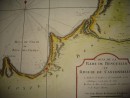
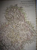
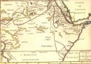
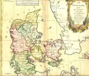
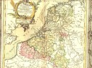
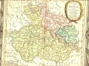
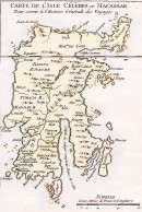
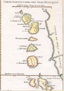
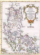
Map watercolor handmade, 1749. By Sr Robert de Vaugondy. 17 x 16.5 cm.
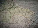
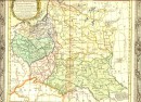
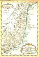
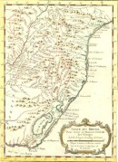
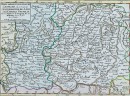
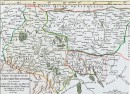
Detailed map of Abyssinia, Sudan and the Red Sea covering Arabia and Egypt south of Mogadishu. It was published in the 1748 edition of Vaugondy's "ATLAS PORTRATIF UNIVERSEL ET MILITAIRE".
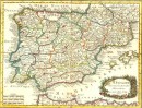
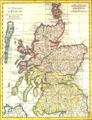
Gilles (1688-1766), Didier (around 1723-1786) and Robert de Vaugondy were all map editors, engravers and cartographers active in Paris in the middle of the 18th century.
The fathers and sons team inherited the Sanson map stock, many of which supplied most of their initial material. The Vaugondy were highly respected for the detail and accuracy of their maps.30 other products in the same category: